
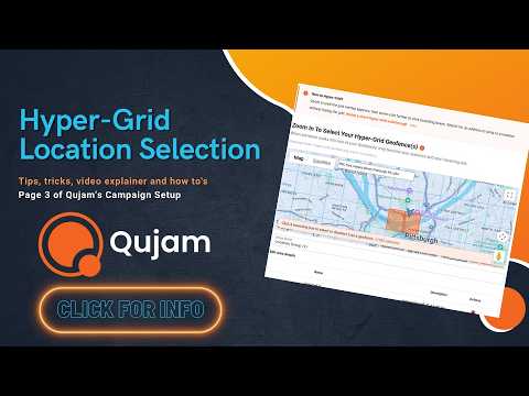
Video Walkthrough
In this video, we'll go over some best practices, general information, and how-to tips when setting up your Hyper-Grids. AKA the hyper-targeted areas you want to identify where people have been, so we can serve those individuals' ads throughout the length of your campaign.
If the video is blurry, your device may have reduced it's quality. Simply click the gear icon in the lower right corner of the video and select a higher quality.
Tips for Selecting Bounding Boxes
- Use different map views:
- There are several ways to view the map to help you navigate and set up the best hyper-grids, and checking each one helps ensure you select grids right where you want them. These views include; Map view, Satellite view, Street view, Terrain, Labels, and Full Screen view. The video above shows you how to find each one.
- Use the search bar:
- The search bar at the top of the map is very useful to quickly find a specific address. Just type in a location like you would in Google Maps, then select thre grid(s) your location is under.
- Deleting a bounding box:
- Miss-clicks happen. If you end up with a bounding box selected you no longer want, simply click on it again to de-select it, or click on the red trash can icon in the list view below the map.
- Give your hyper-grid geofences a good name:
- Typing clear descriptions of your Geofence Group Name, Geofence Names, and Description can be really useful for your future self.
- Keep in mind demographic targeting:
- Although hyper-grid geofencing isn't as narrow with its location targeting as precision geofencing, it does allow for demographic targeting later in the campaign set up. That sometimes means it makes sense to cover a larger geographic territory because you can narrow that audience using third party demographic data.
- Update your geofences:
- You can add or remove your hyper-grids at any time, so it's a good to keep this in mind for the future.


Tips for Navigating the Geofence Map
- Map and Terrain View:
- In the upper-left corner, you can click on "Map," which will show you a navigation-based map view. If you hover over "Map" you have the option to check "Terrain," which will add a terrain/topical feature to the map view.
- Satellite and Labels View:
- In the upper left corner of the map, you can click on "Satellite," which will show you a satellite image-based map view. If you hover over "Satellite" you have the option to uncheck "Lables," which will remove the text labels from the map. This is useful when drawing a geofence or trying to see the area more clearly.
- Street View:
- On the right side of the map, you'll see a little yellow person. You can click and drag that person to a road on the map that is highlighted in blue and drop him anywhere on that road. The screen will take you to a street view, which is a great way to see a location from the ground level. To exit Street View, simply click on the arrow pointing to the left in the upper-right corner.
- Full Screen View:
- In the upper-right corner of the map is a square icon made up of corner pieces. This will expand the map view to your full screen, allowing you to see a bigger map for easier navigation and visibility. To exit the full screen view, simply click the icon in the upper right corner with the four inverted faceing corners.
- 3D or Tilt Map View:
- Right below the full screen view icon is an icon with four solid squares. This gives you a tilted map or 3D view of the map for an extra detailed visualization.
- Zooming and Dragging Across the Map:
- In the lower right corner, you have your "+" and "-" buttons tozoom in and out.
- To see parts of the map that are out of frame, simply left-click, hold, and drag the mouse to move around the map.


